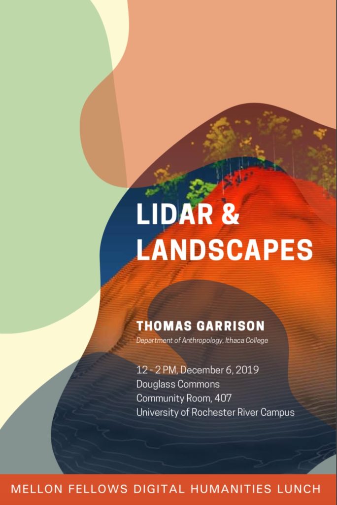
Thomas Garrison, Assistant Professor of Anthropology, Ithaca College
12–2 PM, December 6, 2019
Douglass Commons
Community Room, 401
University of Rochester, River Campus
Thomas Garrison is an archaeologist at Ithaca College who uses LiDAR – a laser-based remote sensing technology – to uncover lost Mayan cities beneath the jungle canopies of Guatemala. By digitally removing the forest cover, Garrison has ‘excavated’ more than 60,000 ruins, revealing massive habitations and changing our understanding of how the Maya lived, built, and altered the landscape. His work has repeatedly appeared in National Geographic, which has funded some of his fieldwork. He’ll discuss his interdisciplinary and multinational project and its place within the digital humanities.
Please share this invitation with colleagues, students, and collaborators. Lunch will be provided. We look forward to seeing you!
